Mountains and Rivers: Earth’s Highs and Lows
| When | Thursday, November 19, 2026 from 4:00 PM - 6:00 PM |
|---|---|
| Where | Clark Library Hatcher Library South, Second Floor View building informationView floor plan |
| Event type | Reception/Open House |
| Series | Third Thursdays at the Library |
Enjoy maps of Earth’s mountains and rivers, near and far! View maps of everything from volcanoes to watersheds to see how these geologic features shape the world we live in. A special focus of this display is comparative maps of Earth’s mountains and rivers, which proliferated in world atlases in the 19th century. These maps use creative layouts to place large rivers and mountains from all over the globe side by side, giving the viewer an artificial but authoritative-feeling glimpse of the world’s features at a glance.
Join us in the Clark Library (on the 2nd floor of Hatcher) for Third Thursdays at the Library, a themed monthly open house where we share materials from our collections. While you’re here, pick up a passport and collect a stamp from each of the four Third Thursday Open Houses — Asia Library, Clark Library, International Studies, and Special Collections Research Center — to win a poster.
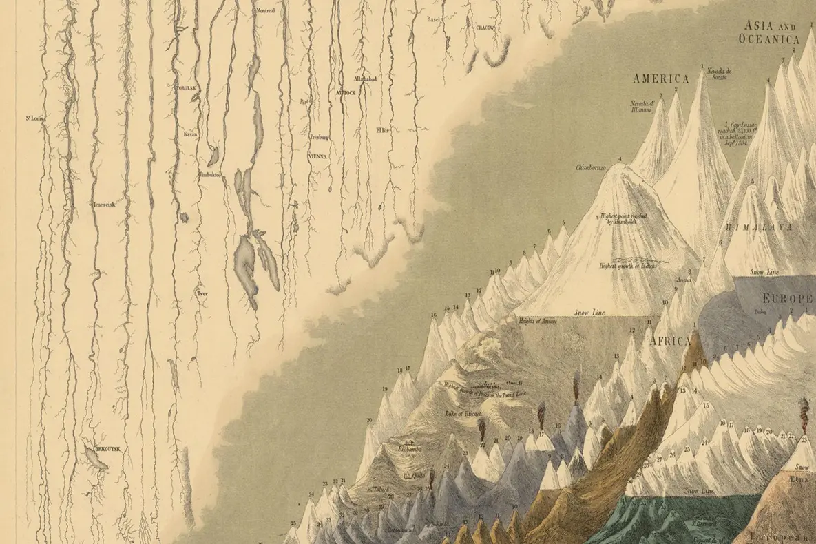
Physical Geography, from "General Atlas of the World: Containing upwards of Seventy Maps…” Edinburgh: A. & C. Black, 1854.
Library contact
Library events are free and open to the public, and we are committed to making them accessible to attendees. If you anticipate needing accommodations to participate, please notify the listed contact with as much notice as possible.