Highlights from the Dr. Stevo Julius Collection
| When | August 26 - December 22 |
|---|---|
| Where | Clark Library Exhibit Space Hatcher Library South, Second Floor, Room 260J View building informationView floor plan |
| Event type | Exhibit |
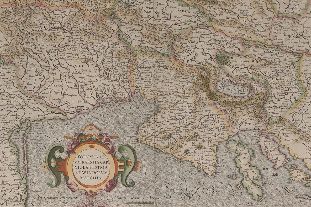
This small exhibit of 10 maps depicts regions of the Balkan Peninsula, with a particular focus on what is today Croatia and the Dalmatian coast. Maps date from the 16th to the 18th centuries, and include works by some of Europe’s most influential cartographers. These materials are part of a recent donation of maps and city views from the Dr. Stevo Julius Family to the Clark Library.
Julius left communist Yugoslavia in 1967 to join the faculty of the University of Michigan Medical School. His groundbreaking research into the metabolic causes of hypertension led to national and international prominence. On one of his many trips abroad, with his wife Susan, he chanced upon the historic map department in Harrod’s, London. Enamored of the detail and craftsmanship, he began to seek out map dealers wherever he visited. It was his express wish that his collection would benefit scholarship and instruction at the university he served and loved for more than five decades.

"Forum Iulium, Karstia, Carniola, Histria et Windorum Marchia," designed by Gerard Mercator and published by Cornelis Claes in 1610.
Share
Library contact
Library events are free and open to the public, and we are committed to making them accessible to attendees. If you anticipate needing accommodations to participate, please notify the listed contact with as much notice as possible.