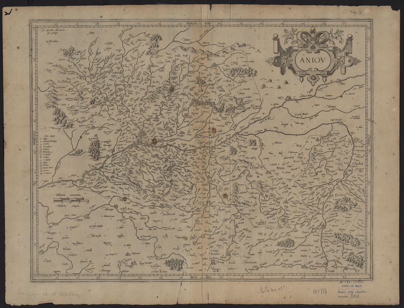
Aniou
The Aniou (Anjou, France) map from the Composite Atlas of France was originally published by Gerhard Mercator. Jodocus Hondius Sr. purchased Gerhard Mercator's copper engraving plates in 1604, and Hondius built his fame upon the continued publication of the Mercator-Hondius Atlas. As this map bears the publisher inscription of Gerhard Mercator it is difficult to definitively determine the publication date of this state.
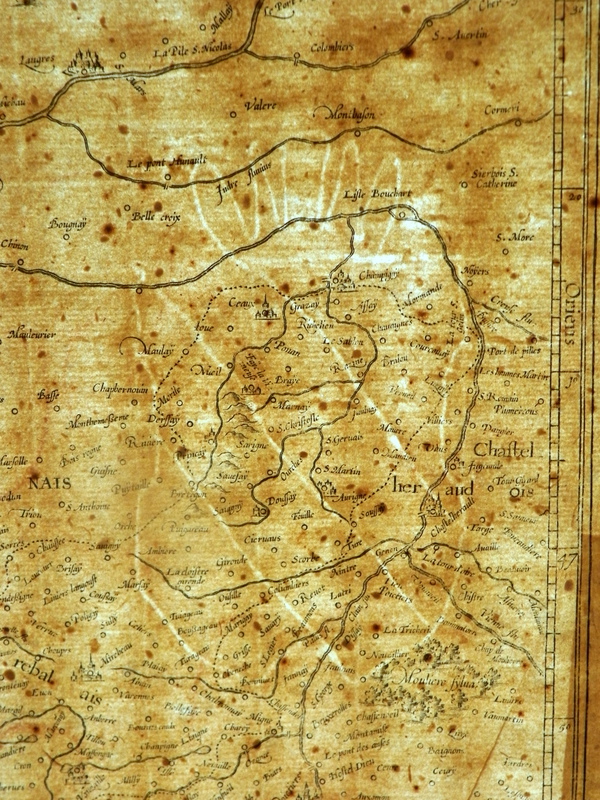
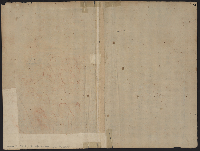
This particular map features red chalk drawings on the verso, but more interestingly it appears the map was repaired after it was removed from its binding. The repairs cover part of the red chalk drawings, suggesting that the map was used for drawing practice while it was still bound, and after it was removed from the broken atlas the map was repaired. In addition, a watermark of a coat of arms is located on the right side of the map.
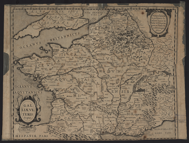
Galliae Veteris Typus
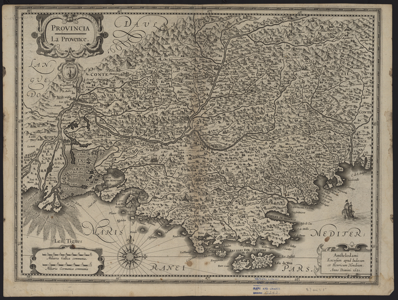
Provincia: La Provence

