Appendix Atlas of 1636-1680 (Ms1)
The largest collection of maps to come from this project is the Appendix Atlas of 1636-1680, or informally known as “Manuscript Style 1” or “Ms1,” which at one time contained approximately one hundred maps published by Johannes Janssonius between 1636 and 1680. As this compilation of maps does not match any other known atlases, the Clark Library created the title to identify this particular set.
As with the Composite Atlas of France, Ms1 is a composite atlas, likely assembled and bound at the behest of a patron, who requested a unique list of maps, perhaps of their own making, to be bound into an atlas. The atlas includes maps of Great Britain, Ireland, France, Spain, Switzerland, and Belgium.
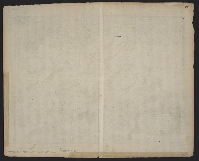
Each of the maps included in this collection bears a manuscript number in the upper right corner of the verso, and the maps are numbered individually to 98, although the Clark Library only holds 86 of the maps from this set. Interestingly, there are 14 maps within this atlas that do not match any known states in van der Krogt’s Koeman’s Atlantes Neerlandici.
The maps from the Appendix Atlas of 1636-1680 were reunited after a careful examination by the Clark staff, looking at the physical characteristics of the paper, including wormholes and staining. While these maps are stored individually now, it appears that these maps were bound together and stored vertically at the time when they were stained, most likely with mouse urine.
As the staining is found on the top most edge of the maps, this suggests that the maps were stored vertically when the staining occurred. Additionally, the adjacent wormholes suggest that the maps were stored together at one time, when a worm decided to eat its way through part of the paper.
Given the diminishing size of the wormhole across numerous maps, it is possible to see which maps were stored next to each other. However, there is also water damage and repairs that are present on only some of the included maps.
The fact that the water damage is found on a few of the included maps and that dissimilar repairs can be seen across several maps illustrates the fact that the maps were not stored together for the entirety of their lifetimes. Without further scientific testing, it is impossible to tell exactly in what order the staining and damages occurred.
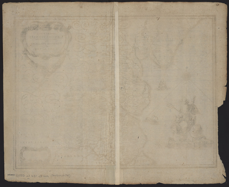
Comitatus Lancastrensis
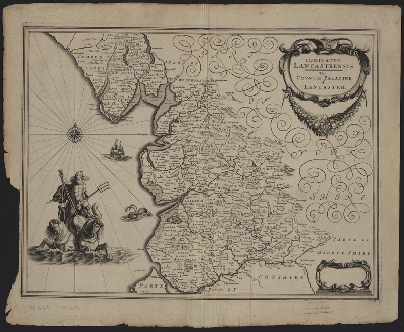
Comitatus Lancastrensis: The Counties Palatine of Lancaster (Lancashire, United Kingdom) was first published in 1636 by Janssonius and was later republished in 1637 in an atlas by Henricus Hondius and Johannes Janssonius. A large image of Poseidon rising out of the ocean upon his chariot drawn by hippocampus is featured on the left side. The maps from Johannes Janssonius's Appendix Atlas of 1636-1680 include a manuscript number in the upper right corner of the verso, which indicates the placement of the map within the overall sequence of maps, and Comitatus Lancastrensis features a "17." This map also has light tide stains (the brown lines left after the paper is exposed to dirty water) which can be found along the top edge and a repair made to the bottom seam, but the repair was made while the map was removed from its binding.
Burgundiae Comitatus
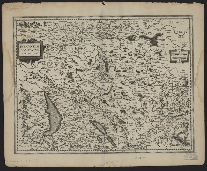
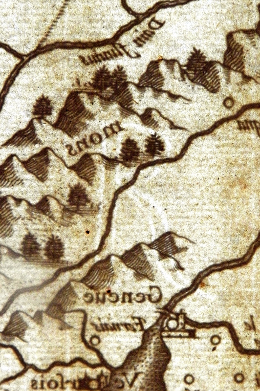
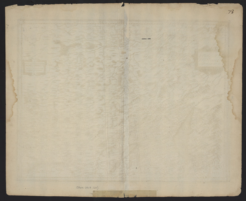
Burgundiae Comitatus, Franche-Comté (Burgundy, France) was first published in 1630 by Johannes Janssonius and was republished in atlases by Johannes Janssonius and Henricus Hondius until 1633. This map features several distinct physical characteristics which make this map unique, including tide stains, watermarks, and a manuscript number. The symmetrical tide stains suggest that the map was folded at the time that it was exposed to dirty water. An additional tide stain can be seen in the upper right corner of the verso which is not mirrored in the left corner. The lack of a second tide stain indicates that the map was flat at the time it was stained. As found on the other maps in the Appendix Atlas of 1636-1680, a manuscript "73" is located in the upper right corner of the verso.
Several maps within the Vignaud Map Collection feature watermarks. During the course of the project the types of watermarks were tracked in the hopes that they would further identify related maps and corresponding atlases. After further research and consultation, it was deemed that this was an unreliable manner of trying to identify atlases. Watermarks are formed during the paper making process by attaching a wire bent into the desired shape to the paper mold. The presence of the additional wire means that the paper is thinner, allowing more light through and thus creating the watermark. Burgubdiae Comitatus, Franché-Comte features two distinctive watermarks, which do not appear on any of the other maps in the Vignaud Map Collection. The first watermak features a "4 RP", while the second watermark on the opposite side is only a "R".
Anglia Regnum
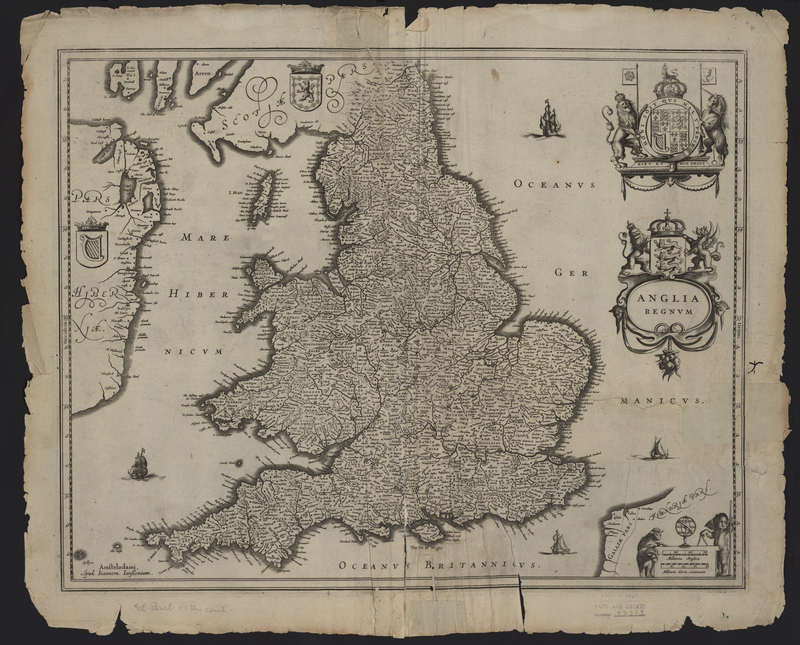
Anglia Regnum (England, United Kingdom) was first published by Johannes Janssonius in 1636 and 1637 and later was republished in Janssonius's five volume Atlas published circa 1680. The map features four different coats of arms, including the Irish and an earlier version of the Scottish coat of arms, which was used between the 12th century and 1603 when King James VI of Scotland ascended to the English throne. Both coats of arms are positioned over their respective countries. The map includes the coat of arms of England and the United Kingdom as well.
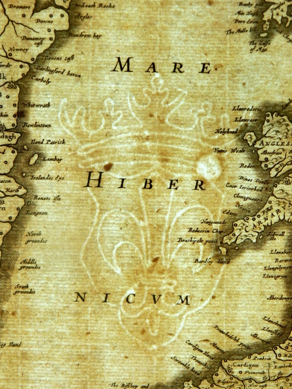
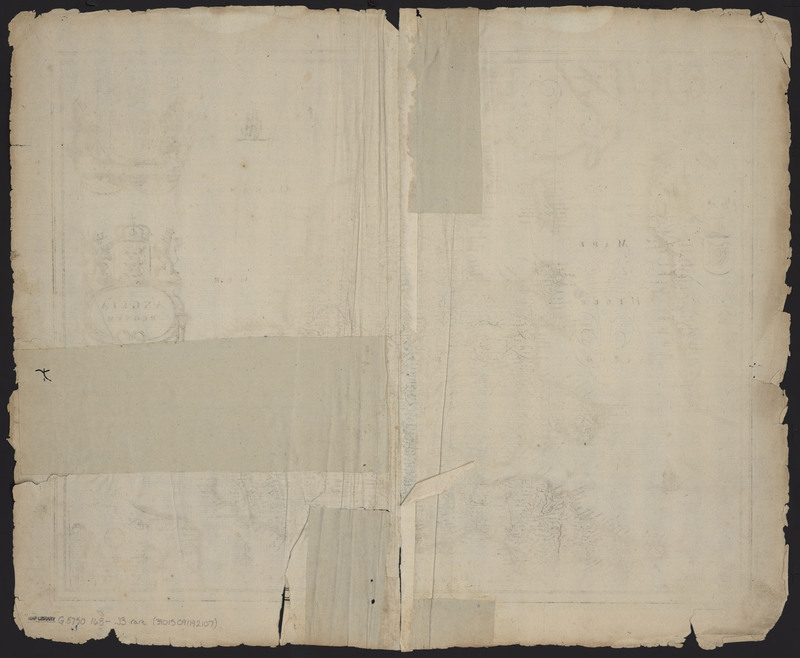
Anglia Regnum features several distinguishing physical characteristics, including manuscript numbers, wormholes, stains, and watermarks. Similar to other maps in Janssonius's Appendix Atlas of 1636-1680, a manuscript "2" can be found in the upper right corner of the verso. In addition, a watermark of a fleur de lis embedded on a shield and topped with a crown can be found on the left side of the map. A pair of symmetrical tide stains can be found along the top edge, as well as, a set of symmetrical wormholes. Both the tide stains and wormholes suggest that the map was damaged while it was folded, though there is not corresponding damage on the adjacent maps, suggesting that the damage did not occur while it was bound with the other maps.
Suffolciae Nova et Accurata Delineatio
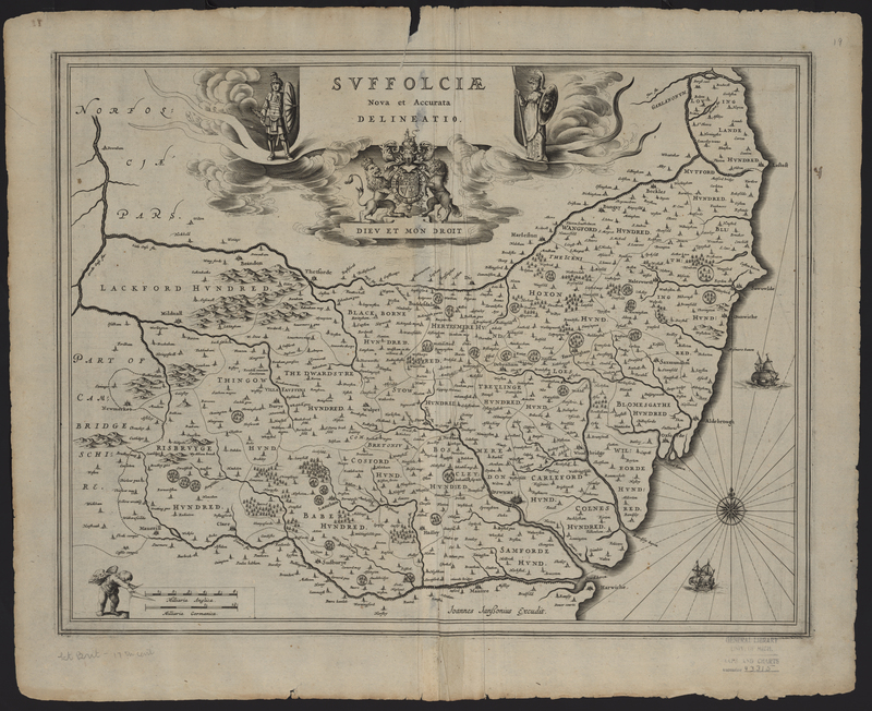
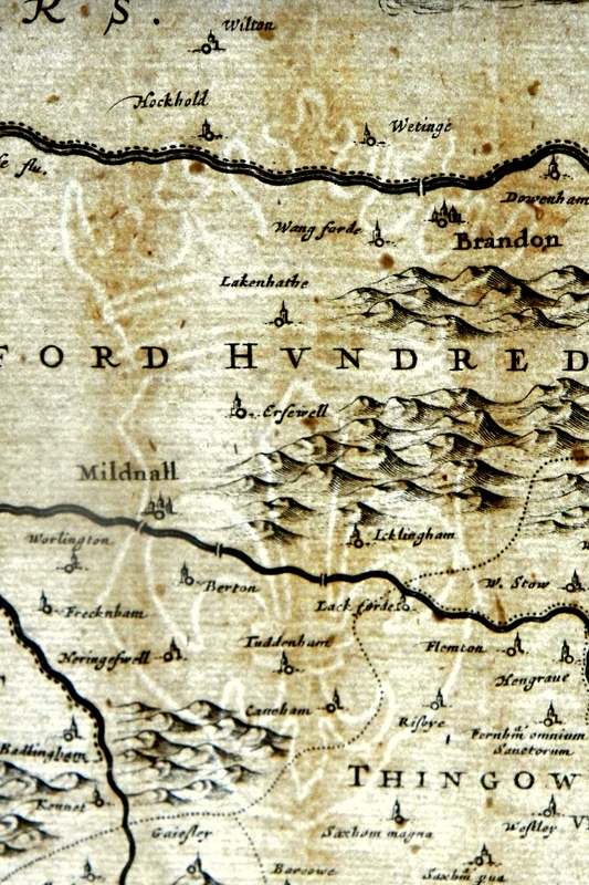
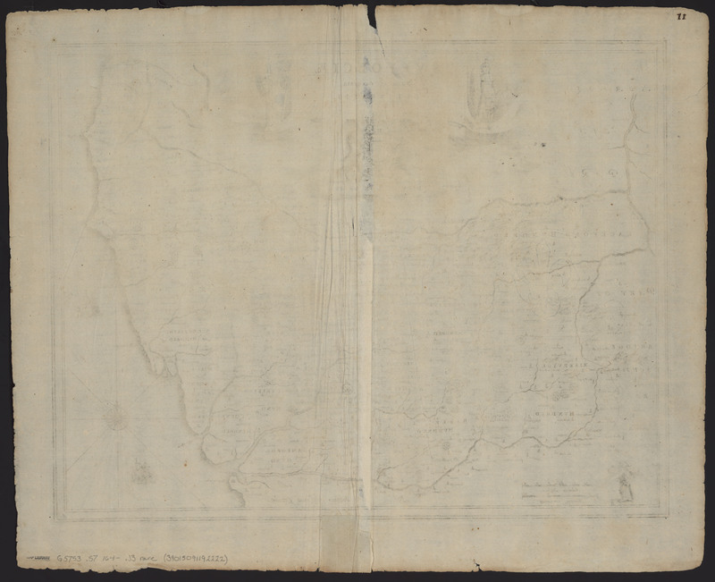
Suffolciae Nova et Accurata Delineatio (Suffolk, United Kingdom)was published by Johannes Janssonius and is an interesting map as there is no evidence that this state was ever published in an atlas without text on the verso, making this particular edition an undocumented state. The map features a prominent British coat of arms accompanied by the inscription "Dieu et Mon Droit."
Suffolciae Nova et Accurata Descriptio has several physical characteristics which make it unique. One of these characteristics is a watermark featuring a fleur de lis embedded in a shield and topped with a crown. In addition to the watermark, a manuscript "11" can be found in the upper right corner of the verso, as well as a repair made to the center seam. The repair was made while the map was still bound. The final unique characteristic is a set of tide stains found along the top edge of the map. Unlike other maps in the atlas these stains are not symmetrical, suggesting that the stains were made while the map was stored flat.
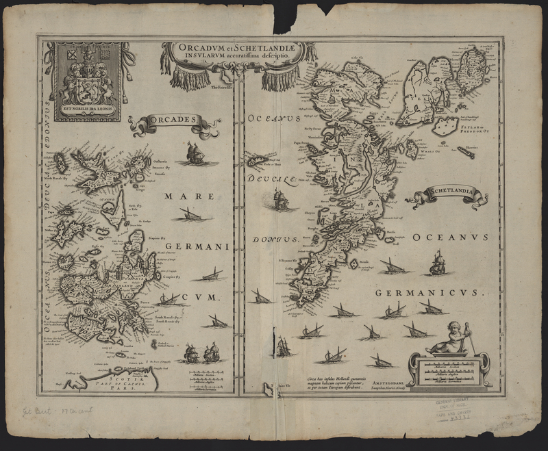
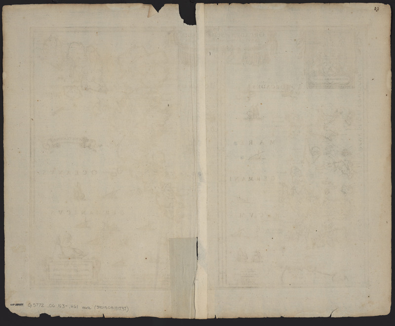
Orcadum et Schetlandiae...
Orcadum et Schetlandiae Insularum Accuratissima Descriptio (Orkney and Shetland, United Kingdom) was published by Henricus Hondius in 1636 and republished again in 1637 in atlases by both Johannes Janssonius and Henricus Hondius. The map features the royal coat of arms of the Kingdom of Scotland used before King James VI of Scotland ascended to the English throne and the two crowns were unified. Interestingly the two flags in the coat of arms, the banner of arms and the national flag of Scotland, are the reverse of a traditional royal coat of arms of Scotland.
Similar to other maps in the Appendix Atlas of 1636-1680, the top edge of the map bears symmetrical tide stains, suggesting the map was exposed to the liquid while it was folded and possibly bound. In addition the map includes a manuscript "19" in the top right corner of the verso and a set of repairs that were made while the map was still bound.
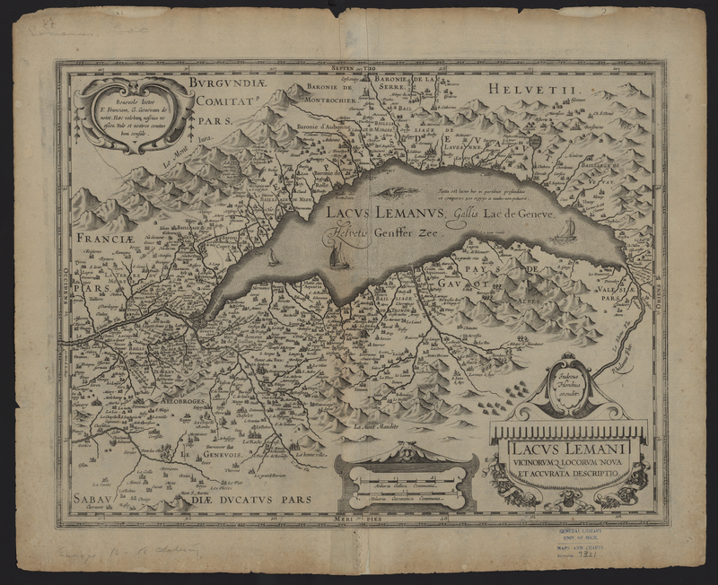
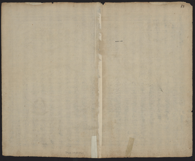
Lacus Lemani
Lacus Lemani: Vicinorumq, Locorum Nova et Accurata Descriptio (Lake Geneva, France and Switzerland) was published by Jodocus Hondius and was originally published in 1631, but also included in atlases until 1633. The Vignaud Map Collection includes three copies of this state, but this particular version includes a manuscript "53" in the upper right corner of the verso, as well as tide stains along the top edge. The tide stains suggest that the map was folded and possibly bound into a volume at the time that it was exposed to the liquid.
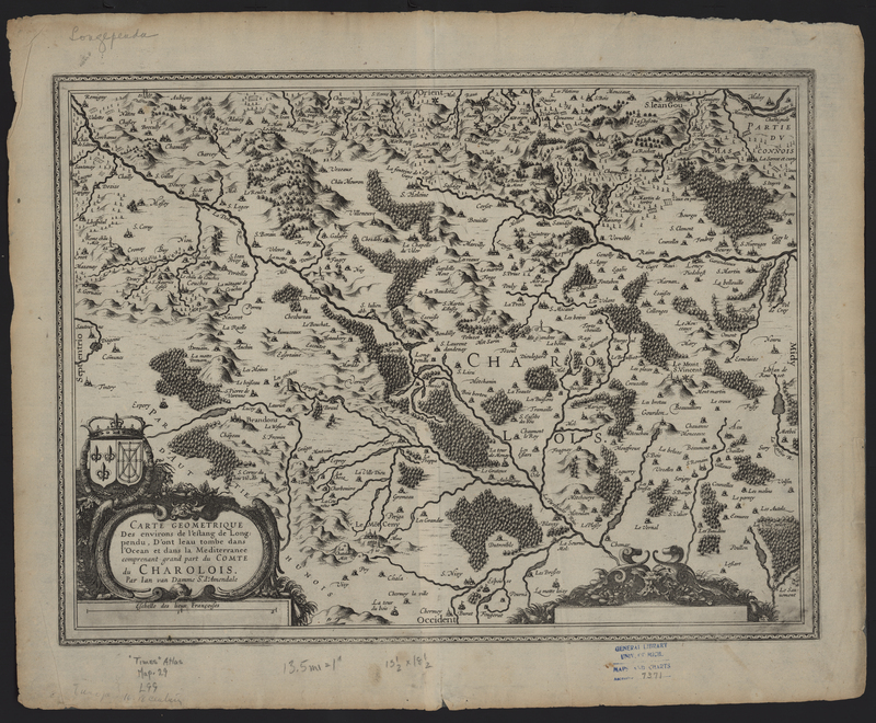
Carte Géométrique...
The Carte Géometrique des Environs de l'Estang de Longpendu, D'ont Leau Tombe dans l'Ocean et dans la Mediterranée, Comprenant Grand Part du Comte du Charolois (Charolais, France) was engraved by Jan van Damme, sieur d'Armendale, but it was included in atlases by Henricus Hondius, Johannes Janssonius, Joan Blaeu, and Melchoir Tavernier between 1631 and 1635. The map features the coat of arms of the Kingdom of France, which combines the coat of arms of France with that of the Kingdom of Navarre. Like many of the maps in the Vignaud Map Collection, the map features a manuscript "75" in the upper right corner of the verso.
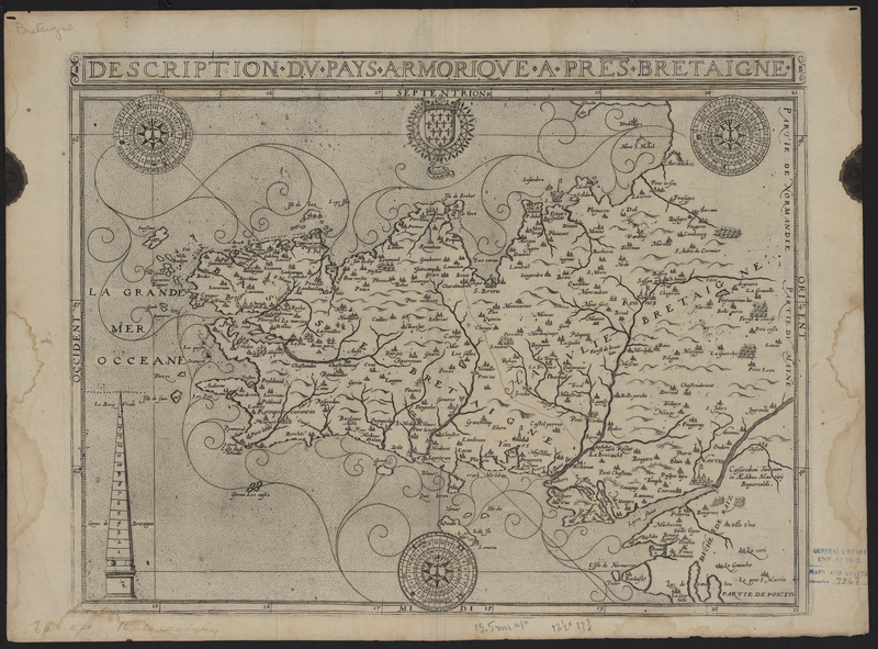
Composite Atlas of France (RC)
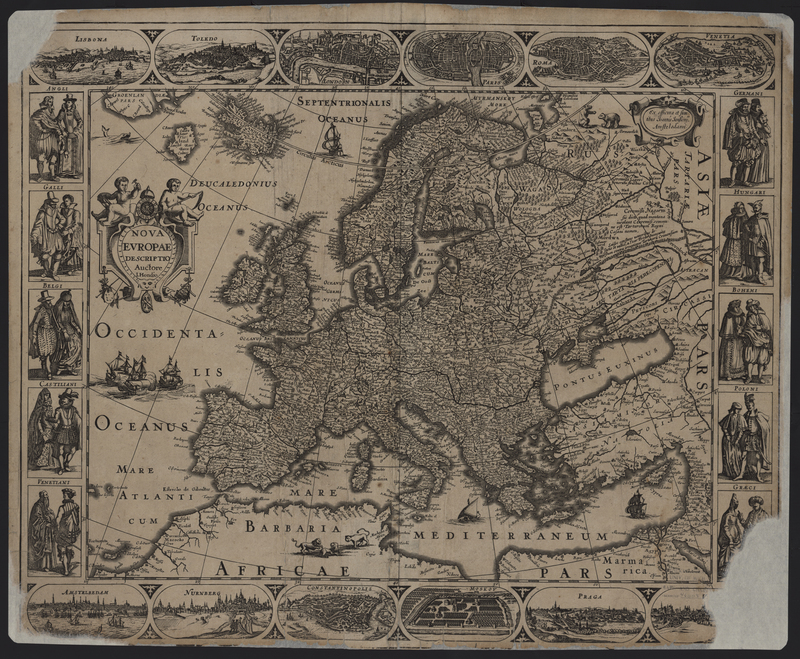
Atlantis Maioris Appendix of 1630 (MS2)

