About This Exhibit
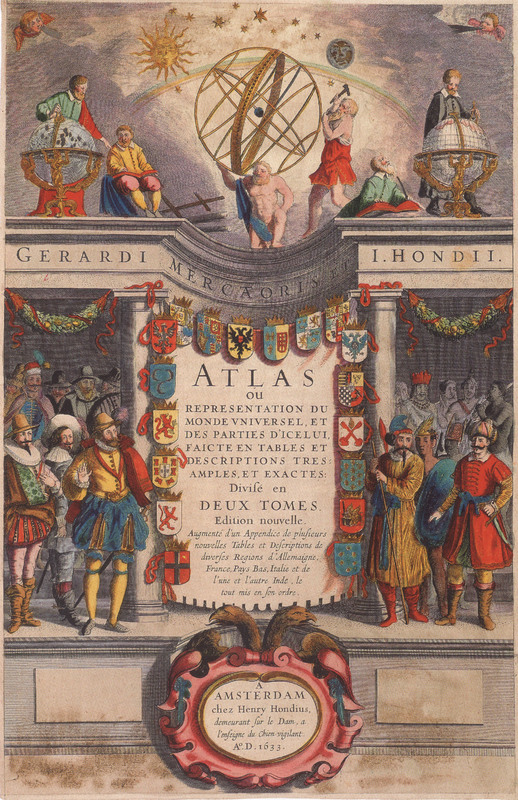
Mr. Vignaud's Maps: Unraveling a Cartographic Mystery from the Golden Age of Dutch Cartography is the result of the project and on-going research of Erin Platte and Tim Utter with the Vignaud Map Collection. The project was launched in order to identify the provenance of the maps in the University of Michigan Stephen S. Clark Library's collection. This research resulted in a physical exhibit at the Stephen S. Clark Library with the same name and two presentations, one entitled "Solving a Cartographic Collection Mystery: Reconciling the Maps of the Jansson-Hondius Appendices and Theatri in the Vignaud Map Collection," which was given at the North American Cartographic Information Society's annual meeting in Portland, Oregon in October 2012, and the other called "Mr. Vignaud's Maps: A Look Inside with the Curators," which was presented on March 22, 2018.
The Hondius-Janssonius maps are very important due to their inclusion of several unknown states. All the maps that we studied as part of this project are part of the Vignaud Map Collection at the University of Michigan Stephen S. Clark Library. The collection contains many fascinating maps and atlases from the 16th-19th centuries. Additional materials from the Henry Vignaud Collection can be found at the University of Michigan William L. Clements Library, the University of Michigan Special Collections Library, and the University of Michigan Harlan Hatcher Graduate Library.
For more information about this exhibit please contact Erin Platte at emplatte@umich.edu and Tim Utter at tutter@umich.edu.
For questions about Omeka or online exhibits, please contact ask-omeka@umich.edu.
Acknowledgements
We would like to thank Cathleen Baker, PhD, U-M Library’s former Conservator, who provided immense help to us in understanding the complexities of 17th century paper and printing. We would also like to thank Peter van der Krogt, PhD, author of Koeman’s Atlantes Neerlandici, the major work on the bibliographic history of Dutch mapmaking. This work is a significant update and reworking of Cornelis Koeman’s Atlantes Neerlandici. For the the French maps in our study we used Mireille Pastoureau’s Les Atlas Francais XVIe-XVIIe Siècles (French Atlases of the 16th-17th Centuries). We would also like to thank Meghan Musolff, who provided immense assistance and direction during the creation of this online exhibit.
Exhibit curated by Erin Platte & Tim Utter.
Text written by Tim Utter & Erin Platte.
Physical exhibit design by Laura Magnusson and Erin Platte.
Rights & Permissions
The University of Michigan Library has placed copies of these works online for educational and research purposes. These works may be under copyright. If you decide to use any of these works, you are responsible for making your own legal assessment and securing any necessary permission. If you have questions about this exhibit, please contact the Stephen S. Clark Library (clarklibrary@umich.edu). If you have concerns about the inclusion of an item in this exhibit, please contact ask-omeka@umich.edu.
For further information, see the Library's Copyright Policy.

Impact and Stewardship

Gallery


