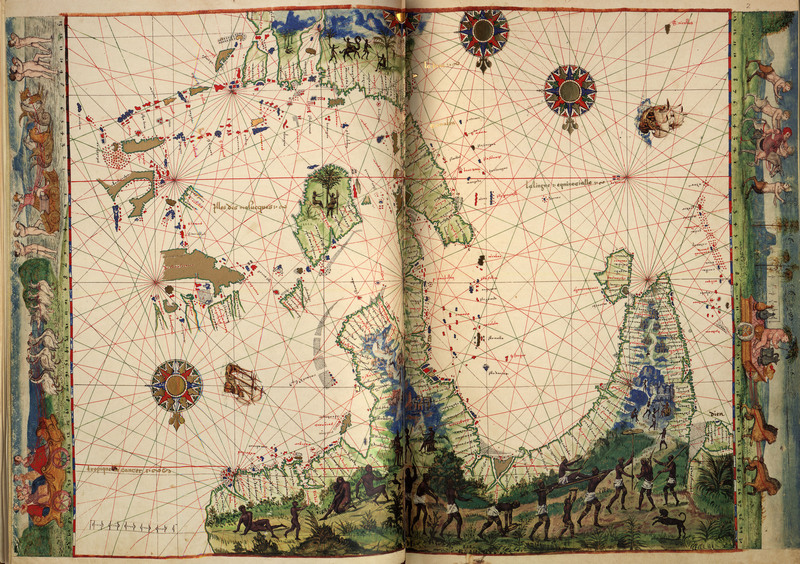
The Survey of India
The “Father of the Indian Survey” was Major James Rennell. In 1767 he was given the newly created post of Surveyor General. Rennell ensured that precision was the utmost concern for his surveyors. When training Indian recruits he taught them to keep an exact pace, unvaried no matter what the terrain might be. The rule was: 1 mile = 2000 paces.
Thomas G. Montgomerie, who was a captain in the Survey of India, was an intrepid mapper. He was able to sight the elevation of K-2 (Karakoram), the second highest peak in the Himalayas. Even more interesting, though, was his work with the “pundits”. These were native agents who were “intelligence workmen”, or essentially spies for the British. The northernmost sections of South Asia (especially Tibet) were uncharted and quite dangerous, so the pundits would disguise themselves. Oftentimes they dressed as Buddhist pilgrims, using Tibetan rosaries to record the number of steps they had taken during the day. They carried a number of mapping instruments that were cleverly hidden in their clothing and secret compartments in their luggage. They even hid paper (for recording their measurements) in the prayer wheels.

The exploits of the pundits are legendary. They had to be very cagey in order to avoid detection. Nain Singh, one of the most accomplished of the pundits, was able to enter Lhasa in 1866. He wrote: “I accompanied the Ladakh merchant, called Lopchak, on the 7th Gewaring-bo-chi [Great Lama] in the fort, ascending by the southern steps. A priest came out to receive us and we were conducted into the presence of the Gewaring-bo-chi, a handsome boy of about thirteen years, seated on a throne 6 feet high, attended by two of the highest priests, each holding a bundle of peacock feathers. To the right of this boy, and seated on a throne 3 feet high, was the Raja Gyalbo-Khuro-Gyago, his minister … We were ordered to be seated, and after making offering of silks, sweets, and money, the Lama Guru put us three questions, placing his hand on each of our heads: ‘Is your king well?’ ‘Does your country prosper?’ and ‘Are you in good health?’ We were then served with tea, which some drank and others poured on their heads.” (Wilford, p. 170)

The Great Trigonometrical Survey
The Great Trigonometrical Survey (GTS) was a part of the larger Survey of India. Whereas the Survey of India acquired geographical information mostly through “route surveys” (like the recordings of the pundits) the GTS created more scientific maps that were created through the use of instruments. William Lambton, the prime mover of the Great Trigonometrical Survey, had a special theodolite (a surveying instrument with a rotating telescope for measuring horizontal and vertical angles) shipped to India from Britain. At one point the ship that carried this great theodolite was actually captured by the French, who graciously repacked it and sent it on.
Making maps with delicate instruments gave a greater credence to the maps produced. The emphasis on precision was almost fetishistic. There are many historians who feel that this emphasis was also a way of exerting control as well as promoting the imperialist agenda. This can be seen in the use of imagery in many of the cartouches in this exhibit. There are clear examples of Indians giving obeisance to the symbols of Britain.

It’s surprising but true that cartography in the 19th century in India was actually the most advanced in the world. Other nations, such as Britain, were not mapped to the extent that India was.
Aside from the precisionist aspect of the Great Trigonometrical Survey it should be noted that there was always a strong element of control in the mapping of South Asia. As Ian Barrow states: “there was a sense among surveyors and the [East India Company]'s high bureaucracy that trigonometrical mapping would enhance the reputation of the Company as an enlightened patron because of its rigorous and scientific nature…. This rhetoric of scientific progress and improvement was a significant factor contributing to the character of colonial rule in India during the nineteenth century. The Survey not only helped the state gather information and knowledge, it also --and this was its greatest advantage over route surveys-- added legitimacy to colonial rule by making it seem that this form of science in India would not only result in India’s progress but would also improve geodesy.” (Ian J. Barrow, Making History, Drawing Territory, p. 83-84)

Surveying Maps
Thacker's Reduced Survey Map of India, 1897
Thacker’s Reduced Survey Map of India includes an inset map of Nicobar Islands and 12 ancillary maps. These smaller maps contain information about Indian products and tea districts. Relief is shown on this map with hachures -- short parallel lines used in hill-shading on maps, their closeness indicating steepness of gradient.

Ganges canal. A disquisition on the heads of the Ganges of Jumna canals, North-western Provinces, 1864
This meticulous study of the Ganges canal was basically Cautley’s reply to Sir Arthur Cotton. They heartily disagreed with each other on where the river should be “led off”above the Doab or below it by the construction of a dam:
"But in order to justify it, I have been compelled to enter into minute and tedious details regarding the surface contour of the country; the slopes of the river beds in relation to the higher levels and slope of the land and the lines of drainage by by which the Doab is longitudinally intersected. These are devoid of interest to the general reader, but they are essential to my explanation." (p. iii)
This was essentially Cautley’s rebuttal to Cotton’s attacks saying that Cautley had wasted much money in planning this modification of the Ganges.

A history of the military transactions of the British nation in Indostan, from the year 1745. To which is prefixed, A dissertation on the establishments made by Mahomedan conquerors in Indostan, reprinted 1861-1862
This title is a reprinted volume with much discussion and analysis of military installations in India. There are a number of very well done maps of different fortifications.

Heyne's India; Tracts, Historical and Statistical, on India ; with Journals of Several Tours Through Various Parts of the Peninsula, 1814
This volume is a compendium of information of all kinds on India. There are several superb engravings of different sites including famous temples.

Overland Route to India, 1851
The lower of these two maps shows India and adjacent countries and the upper map shows Europe. The purpose of this map was to show the overland trade route from London to India.

A New Chart of Part of the Coast of Coremandell from Armegon to Bimlepatam, 1716 or later
John Thornton (1641-1708) was a cartographer and was hydrographer to the East India Company and to the Hudson’s Bay Company. He made many manuscript charts that he and others would later print. This is a seemingly simple map, but the accuracy of the map and soundings were critical for navigation and trade and may have helped to reduce the number of shipwrecks and loss of life.

The southern countries of India from Madrass to Cape Comorin: Describing the Routes of the Armies Commanded by Colonels Fullerton and Humberston, during the campaigns of 1782, 1783 & 1784, surveyed by Col. Kelly & Capt. Wersebe and others, 1788
This map shows forts, villages, pagodas, British possessions, French settlements, and British military campaigns under Sir Eyre Coote in 1781, Col. Humberston in 1782, and Col. Fullerton in 1783 and 1784.

A Memoir on the Indian Surveys, reprinted 1968, original from 1878
This title is an encyclopedic history of all the Indian surveys including the Great Trigonometrical Survey and others.

James Rennell: The Father of the Indian Survey
Colonization