Browse all items
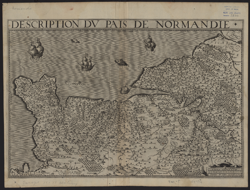
Maurice Bouguereau
France
From the Composite Atlas of France.
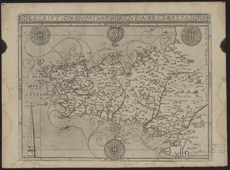
Maurice Bouguereau
France
From the Composite Atlas of France.
Stanford’s Geographical Estabt.
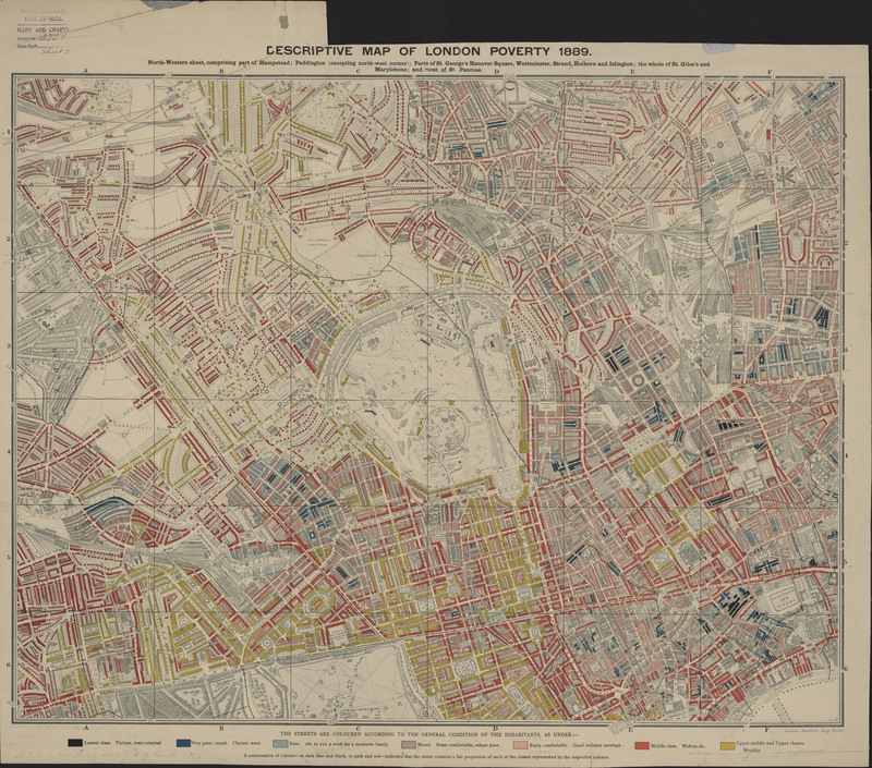
Poverty in London
This map is one of four maps that depicts Charles Booth's 1886 cartographic survey of London poverty and is an excellent example of the lithographic…
Stanford’s Geographical Estabt.
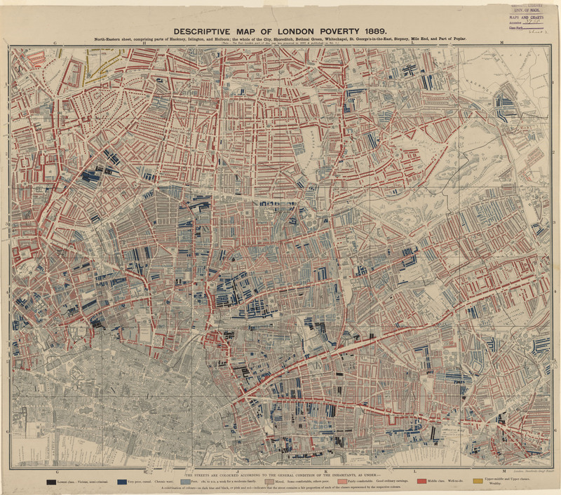
London Poverty
This map is one of four maps that depicts Charles Booth's 1886 cartographic survey of London poverty and is an excellent example of the lithographic…
Stanford’s Geographical Estabt.
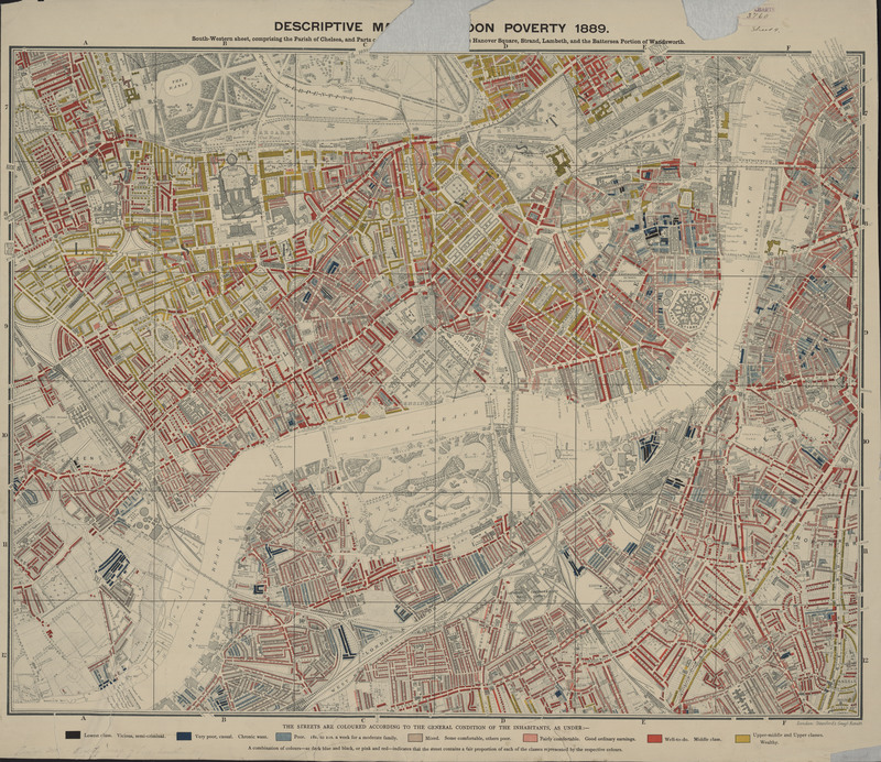
London Poverty
This map is one of four maps that depicts Charles Booth's 1886 cartographic survey of London poverty and is an excellent example of the lithographic…
Stanford’s Geographical Estabt.
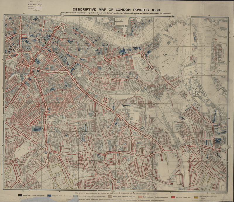
London Poverty
This map is one of four maps that depicts Charles Booth's 1886 cartographic survey of London poverty and is an excellent example of the lithographic…
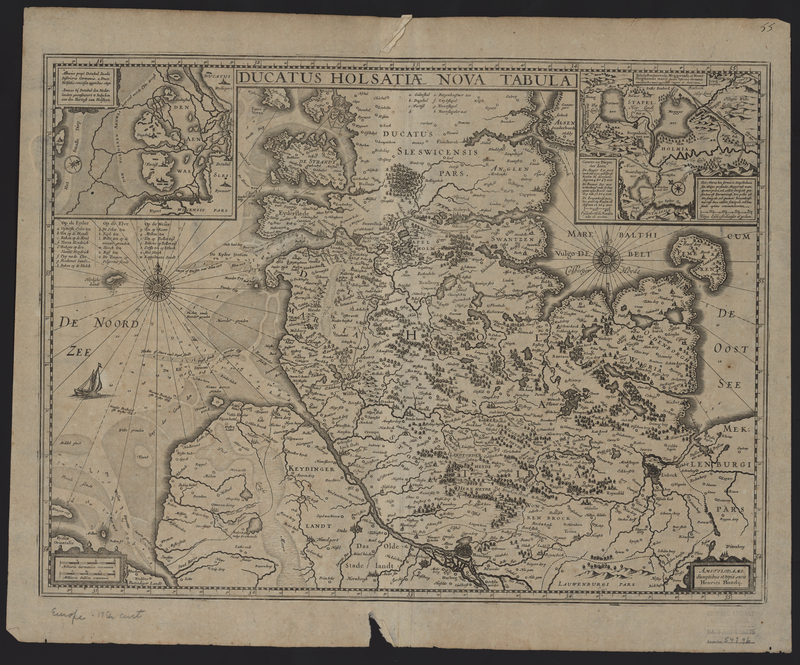
Henricus Hondius
Switzerland
From the Appendices of the British Isles and Northern Europe.
Henricus Hondius
Switzerland
From the Appendices of the British Isles and Northern Europe.

