Browse all items
Jorge Reinel, Lopo Homem, Antonio de Holanda
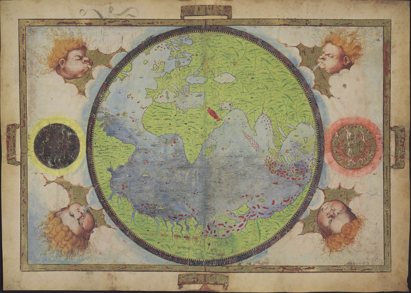
World
This map shows six ships in the Pacific Ocean. It is clear that exploration was an important facet of early travel because of such a proliferation of…
Jorge Reinel, Lopo Homem, Antonio de Holanda
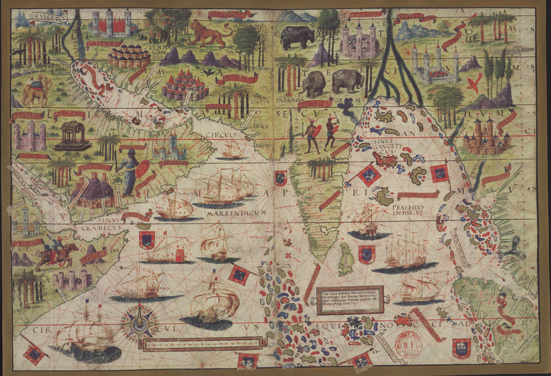
Asia
This map shows six ships in the Pacific Ocean. It is clear that exploration was an important facet of early travel because of such a proliferation of…
Jorge Reinel, Lopo Homem, Antonio de Holanda
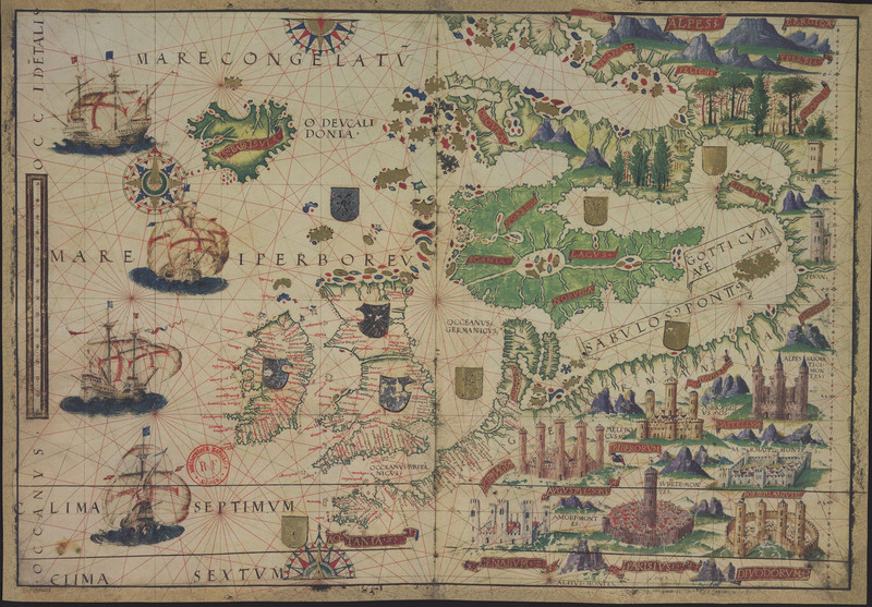
Europe
This map shows six ships in the Pacific Ocean. It is clear that exploration was an important facet of early travel because of such a proliferation of…
John Delaney
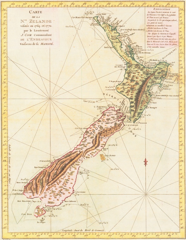
New Zealand
This map of New Zealand was made by Cook on his first voyage during which he circumnavigated both islands.
John Delaney
Cook Exploration
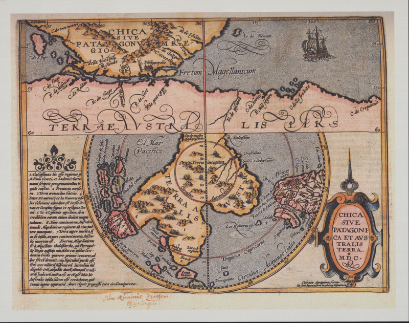
This map by Petrus Bertius shows the newly discovered and named Straits of Magellan.
John Delaney
Cook Exploration
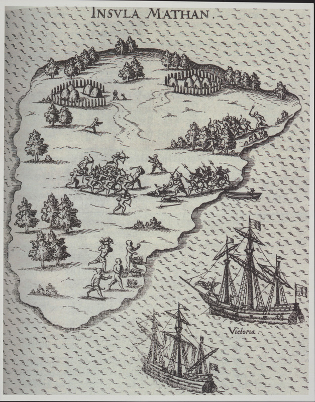
This illustration shows Magellan’s death on the island of Mactan. His ships can be seen to the right of the island.
Johannes Janssonius
United Kingdom
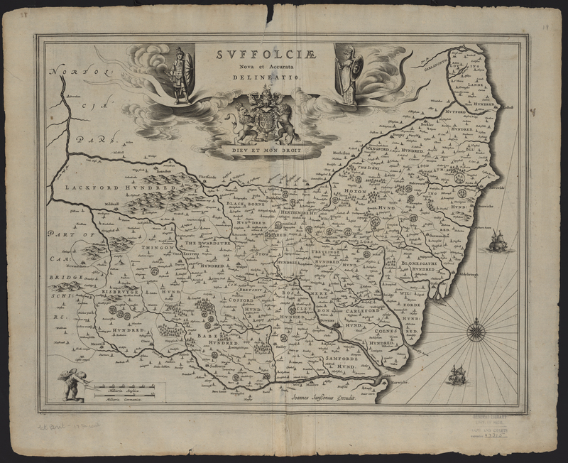
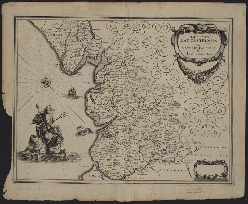
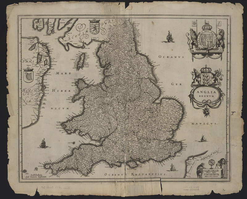
From Johannes Janssonius's Appendix Atlas of 1636-1680.
Johannes Janssonius
United Kingdom
From Johannes Janssonius's Appendix Atlas of 1636-1680.
Johannes Janssonius
United Kingdom
From Johannes Janssonius's Appendix Atlas of 1636-1680.
Johannes Janssonius
United Kingdom
From Johannes Janssonius's Appendix Atlas of 1636-1680.

