Browse all items
Visscher
Germany
From Johannes Janssonius's Atlantis Maioris Appendix of 1630.
Universal Map
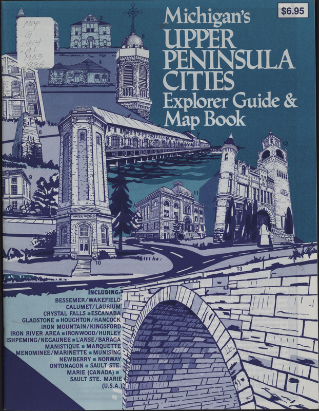
Michigan Travel
This Michigan guide book provides maps of tourist attractions and descriptions of cities in Michigan’s Upper Peninsula. The map can be found…
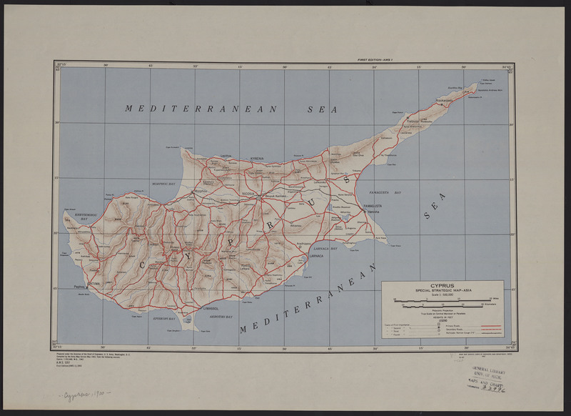
United States. Army Map Service.
Cyprus
One of the most well known mines of the pigment green earth was found on the island of Cyprus. Today, popular sources of green earth pigments can be…
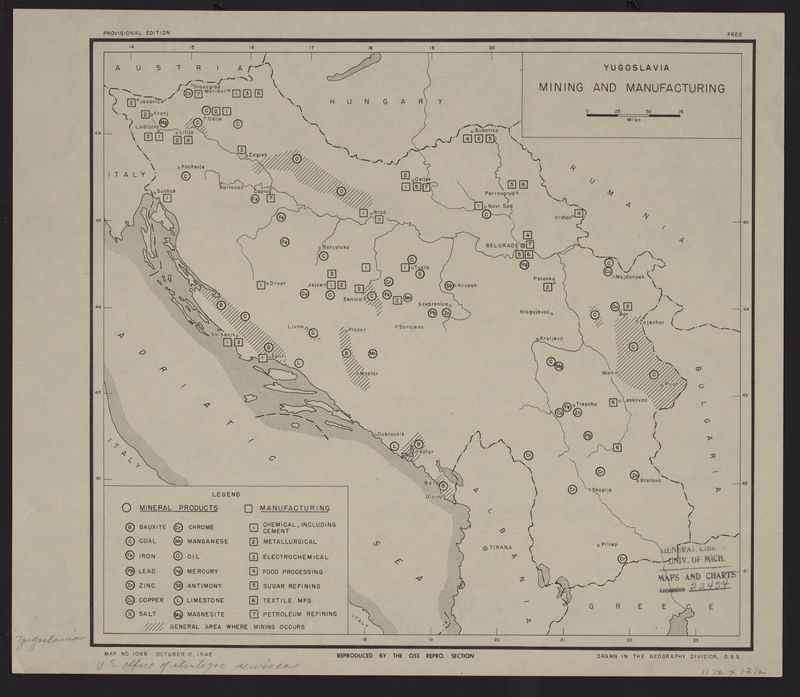
United States Office of Strategic Services
Yugoslavia
"Since the Middle Ages, orpiment has been mined in Hungary, Romania, Germany, Austria, Switzerland, France, Italy, and the former Yugoslavia for use…
United States Army Quartermaster Corps Military Planning Division
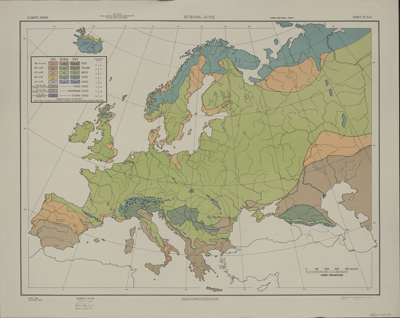
Climate zones
Iris flowers, which have been used to create a green dye, enjoy a temperate climage zone. England's mild year round temperatures create an ideal…
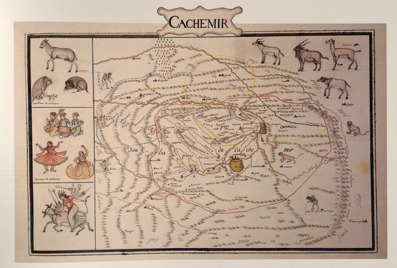
Susan Gole
This is a reproduction of maps drawn by Colonel Jean-Baptiste-Joseph Gentil in 1770, and his maps were based on an indigenous atlas that was given to…
Stanford’s Geographical Estabt.
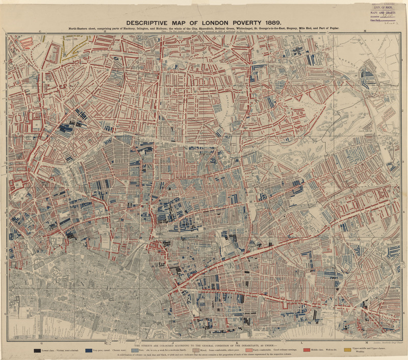
London Poverty
This map is one of four maps that depicts Charles Booth's 1886 cartographic survey of London poverty and is an excellent example of the lithographic…

