Browse all items
Stanford’s Geographical Estabt.
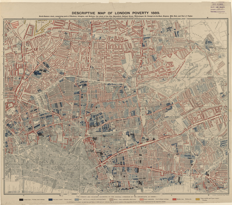
London Poverty
This map is one of four maps that depicts Charles Booth's 1886 cartographic survey of London poverty and is an excellent example of the lithographic…
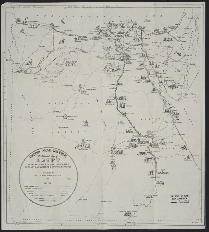
United Arab Republic
Egypt
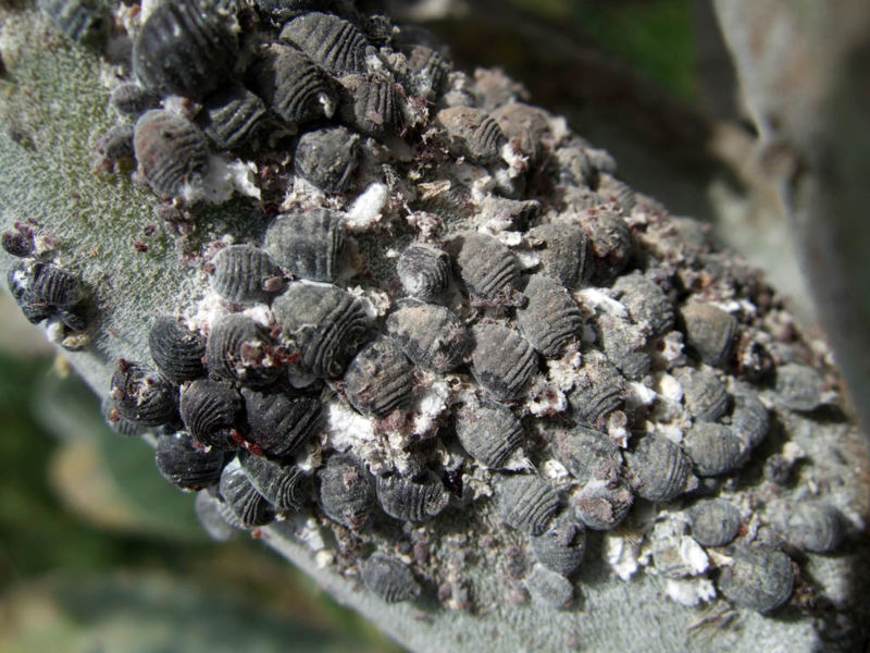
Can you tell from this map what ancient civilization crushed the kermes insect to make a red dye, which they added to a colorless powder to create…
United States Army Quartermaster Corps Military Planning Division
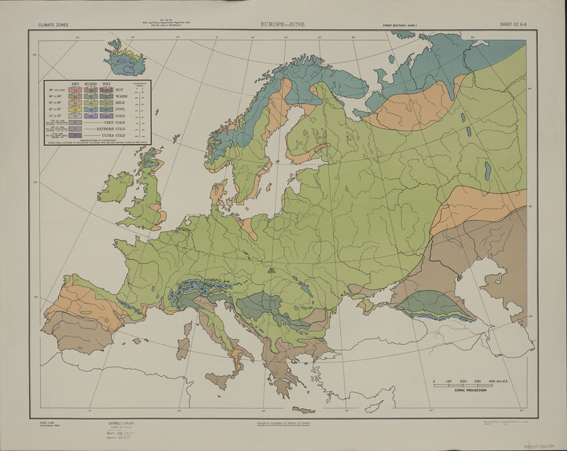
Climate zones
Iris flowers, which have been used to create a green dye, enjoy a temperate climage zone. England's mild year round temperatures create an ideal…
United States Central Intelligence Agency
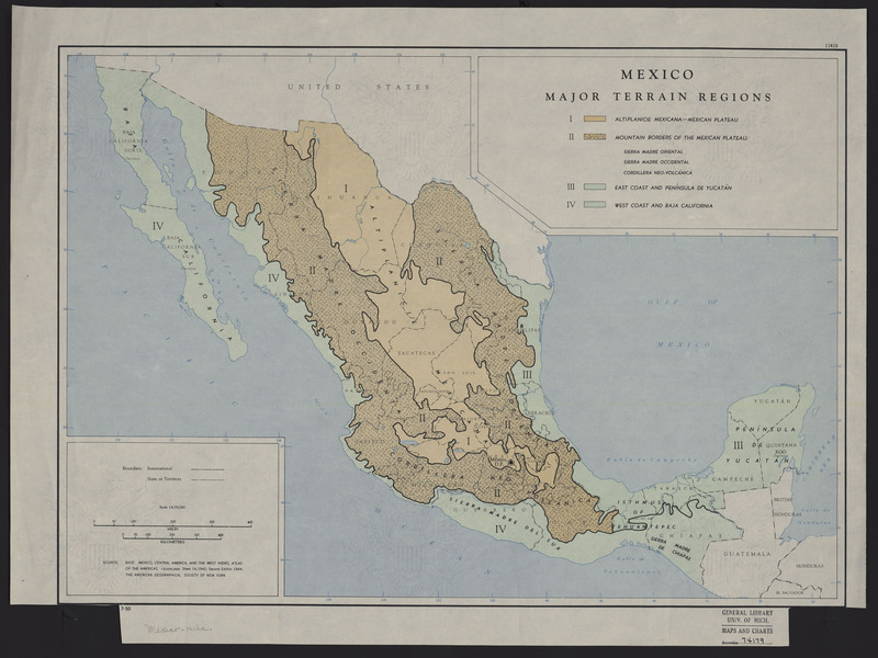
Mexico
The annatto plant grows in the tropical and subtropical locations of Central and South America. This colorant has a long history of being used to…
United States Office of Strategic Services
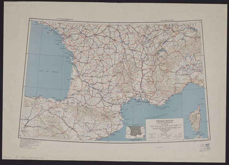
France
Historically, the best yellow and red ochres have been noted to come from the region of Roussillon, France. Rousillon is located in southern France…
United States Office of Strategic Services
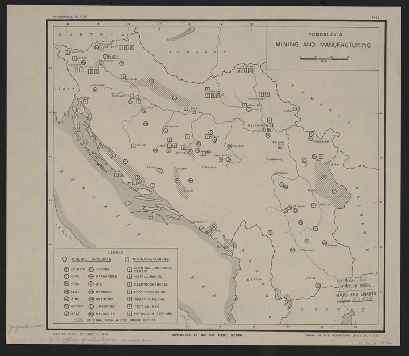
Yugoslavia
"Since the Middle Ages, orpiment has been mined in Hungary, Romania, Germany, Austria, Switzerland, France, Italy, and the former Yugoslavia for use…
United States. Army Map Service.
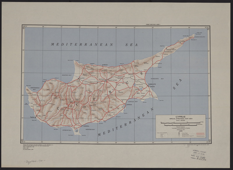
Cyprus
One of the most well known mines of the pigment green earth was found on the island of Cyprus. Today, popular sources of green earth pigments can be…

