Anglia Regnum
Anglia Regnum (England, United Kingdom) was first published by Johannes Janssonius in 1636 and 1637 and later was republished in Janssonius's five volume Atlas published circa 1680. The map features four different coats of arms, including the Irish and an earlier version of the Scottish coat of arms, which was used between the 12th century and 1603 when King James VI of Scotland ascended to the English throne. Both coats of arms are positioned over their respective countries. The map includes the coat of arms of England and the United Kingdom as well.

Anglia Regnum features several distinguishing physical characteristics, including manuscript numbers, wormholes, stains, and watermarks. Similar to other maps in Janssonius's Appendix Atlas of 1636-1680, a manuscript "2" can be found in the upper right corner of the verso. In addition, a watermark of a fleur de lis embedded on a shield and topped with a crown can be found on the left side of the map. A pair of symmetrical tide stains can be found along the top edge, as well as, a set of symmetrical wormholes. Both the tide stains and wormholes suggest that the map was damaged while it was folded, though there is not corresponding damage on the adjacent maps, suggesting that the damage did not occur while it was bound with the other maps.


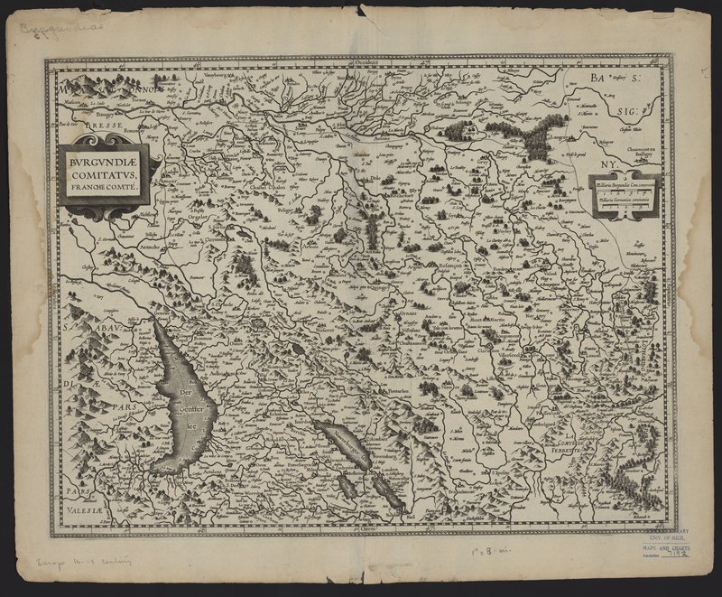
Burgundiae Comitatus
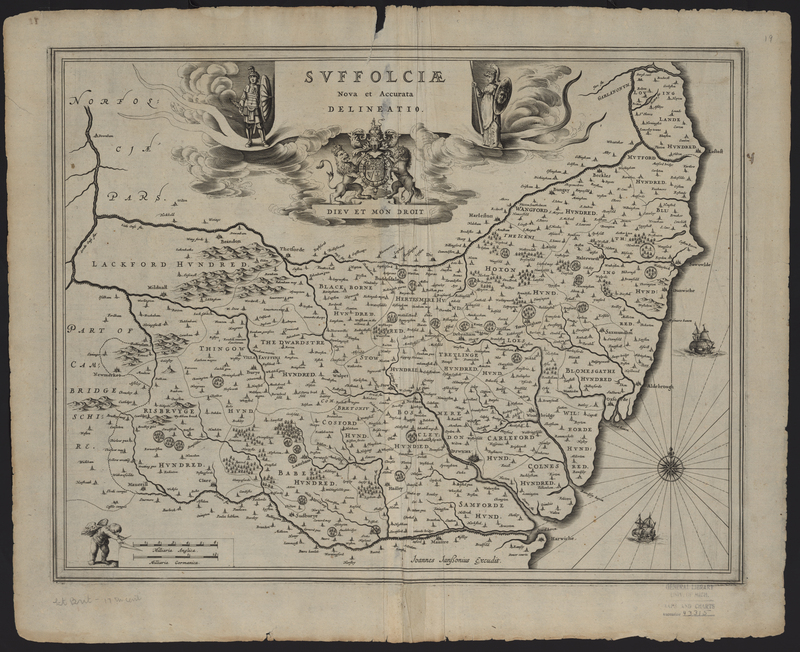
Suffolciae Nova et Accurata Delineatio